GEOSPATIAL INFORMATION
APPLIED TO FARMING.
Scanterra is a leading company in Latin America. We are experts in the development of geospatial solutions applied to farming and associated activities.
SCANTERRA IS
+ FACTUAL INFORMATION
+ RISK MANAGEMENT
+ EFFICIENCY
+ PROFITABILITY
By having an improved management of the inherent risk to the agricultural industry and adding a highly valuable knowledge, our solutions and services demonstrate how they are main resources to make better decisions and increase your business productivity.
ScanTerra will allow you to optimize time and resources in field work by minimizing uncertainty and maximizing profitability in every production plan.
BENEFITS OF OPERATING WITH SCANTERRA

LEADER IN LATAM
Innovation in GIS and remote sensing since 2004

+40 MILLIONS OF Ha.
Processed in the last 12 years

SOLID TRADITION
In remote sensing systems and GIS

STRONG TEAM
Agricultural engineer and geospatial technologies experts

TECHNOLOGICAL PLATFORM
Tested by big national and international customers

REMOTE ACCESS
To your information from your desktop, laptop or smartphone, no matter where you are.

DEVELOPED SOLUTIONS
To resolve your field problems and needs

QUICK SET UP
In the suite of solutions developed by our company

INTEGRATION POSSIBILITY
With systems of your own company

PERMANENT INNOVATION
Through strategic alliances

CERTIFIED MANAGEMENT
By ISO 9001:2008 90003 standards, by TUV Rheinland

COUNSELING
Close and tailored, always available
WANT TO KNOW MORE ABOUT OUR
SOLUTIONS FOR YOUR COMPANY?
LEADERSHIP TEAM
-
 Alvaro Sassano GENERAL MANAGER | CEO
-
Andrea Escribano ADMINISTRATION AND FINANCE
-
Nicolás López SYSTEMS
-
Luciana Madoery TECHNICAL AREA
-
Humberto Smichowski TECHNICAL AREA
-
Yuliana Mejía TECHNICAL AREA
-
Rosana Lara TECHNICAL AREA
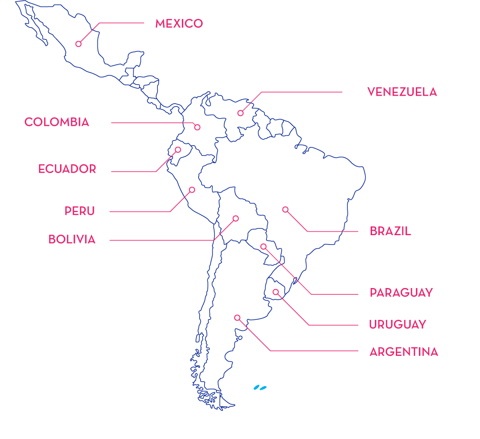
SCANTERRA IS PRESENT IN 10 LATIN AMERICAN COUNTRIES