
SOLUTIONS FOR
THE COMPANY
Would you like to have different department information of your company integrated in one web and mobile system and know their respective concerns?
WE PROVIDE A SOLUTION TO MAKE A BETTER KEY INFORMATION MANAGEMENT IN A AGRICULTURAL COMPANY, BOTH AT MARKETING, COMMERCIAL AND PRODUCTION LEVEL.
ScanAgroCorporate is a satellital information software which provides key details to your business. It contains three modules oriented to work on commercial, production, research and development strategies.
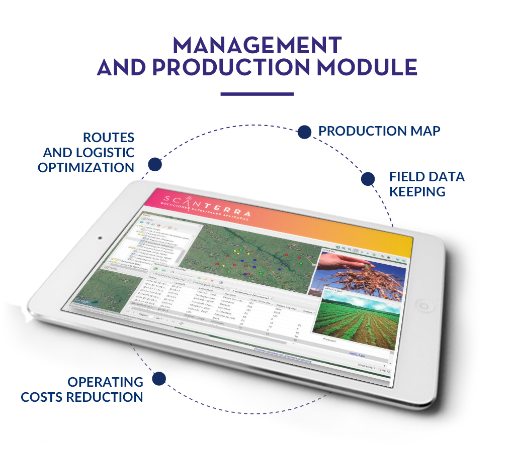
In the production department, ScanAgroCorporate will make possible to reduce risks, optimize production time and improve work team by offering your crops condition online. It’s also a powerful tool in the marketing department not only because of the possibility of knowing where your clients are or which is the potential business in a specific area, but also for you to being able to map your current sales.
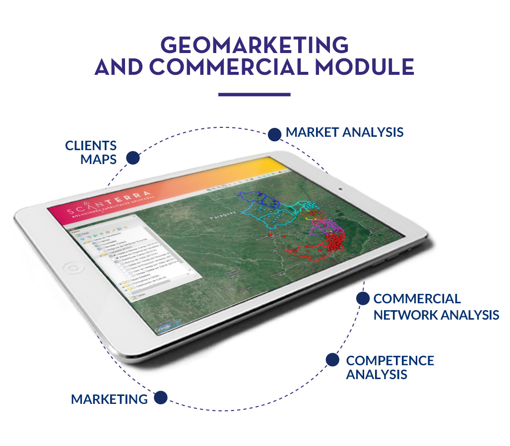
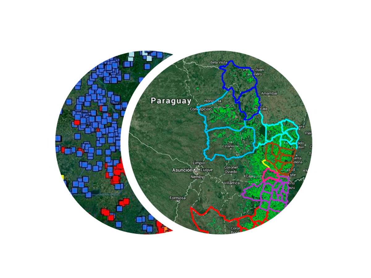
GEOMARKETING AND COMMERCIAL MODULE
This ScanAgroCorporate module is a sales and customer loyalty tool which allows you to know the current and potential market by knowing where your clients and your competence are.
The information that the module provides will make possible to you to programme marketing campaigns.
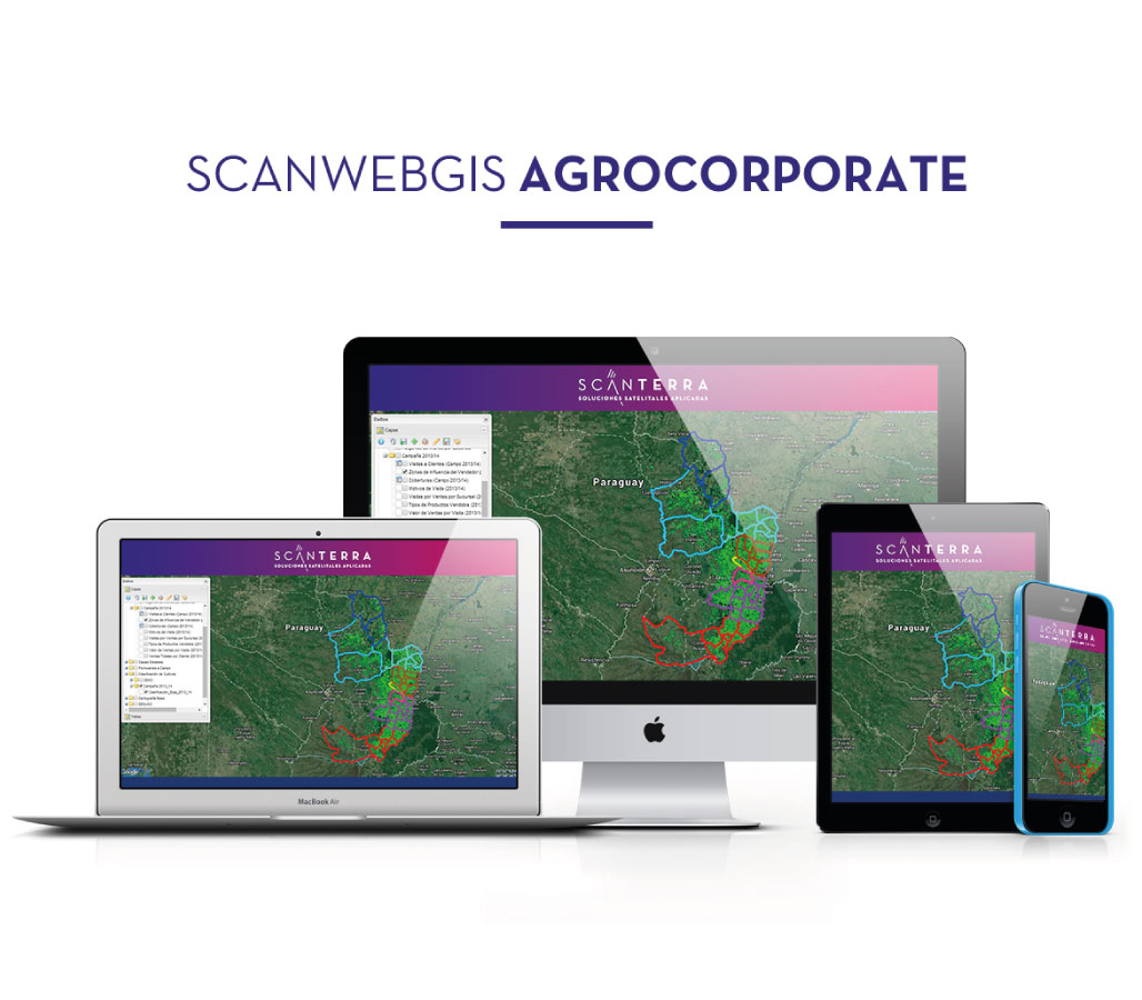
Our platform is a full web access service available 24 hours a day in any mobile device. It allows your work group to get shared geo- referenced field information and to integrate different areas of the company, as well as associate them to the suppliers and customers.
ScanAgroCorporate is a modern easy-to-use platform designed to exploit the agricultural company potential by knowing their interests in the decision-making process.
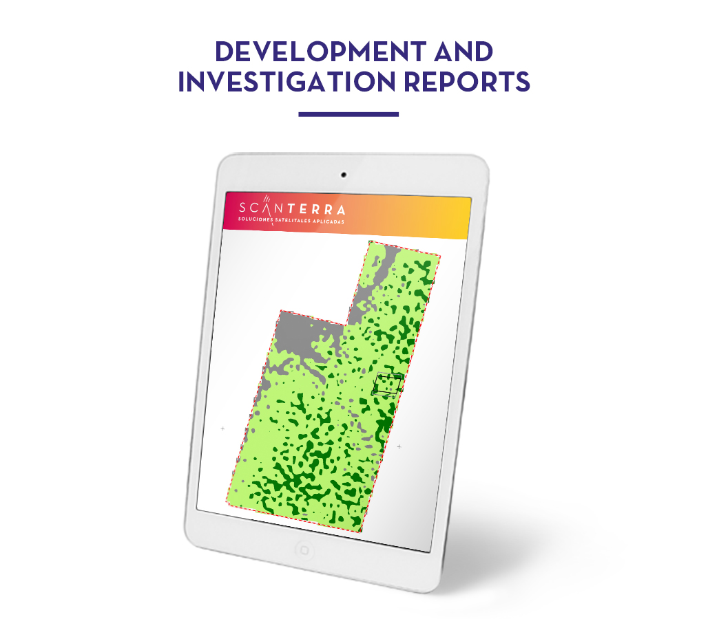
D+I - DEVELOPMENT AND INVESTIGATION
This module allows you to improve your classical development and investigation process by incorporating satellite geospatial information and the latest mapping technologies. These services are especially useful to audit and certify critical process at this stage.
- Access via internet to our system using your username and password.
- Cloud services available around the clock.
- Web and mobile App available in Smartphones, tablets and PCs.
- Continuous improvements and updates.
- Help Desk.
- Customized support and follow-up.
- Training.
- High value access to the geographic database.
- Initial import of the geo-referenced information.